
Welcome to Norcom Technology
Norcom Technology Limited was established in 1986 as an independent consultancy and software development company specialising in the specification, provision and development of systems for mapping, navigation and hydrographic survey.
Norcom is based in Norwich and has provided a range of software, hardware and services to government organisations, harbour authorities, oil companies, hydrographic survey companies, cable lay companies, dredging companies and freelance hydrographic surveyors worldwide.
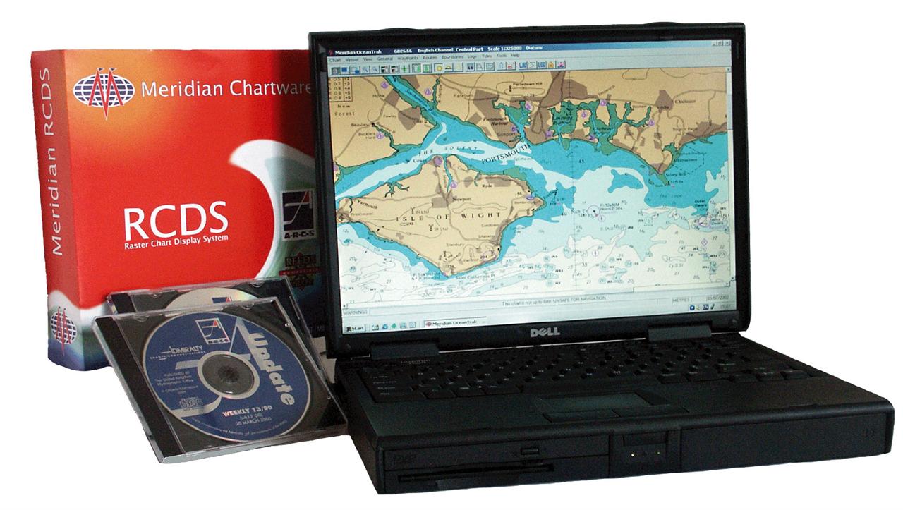
In 1999 Norcom Technology Limited acquired Meridian Chartware a company specialising in the development of electronic chart software and related products. Meridian is a licensed developer of the Admiralty Raster Charts
Service (ARCS).
Our experience and facilities allow us to develop and supply hydrographic survey systems of an unparalleled quality.
Read more ...


Norcom Downloads

News & Updates

Our Newsletter
of new products and software.
Meridian are also an agent.

 You can keep up to date on all the latest special offers, events and more via any of the following networking sites.